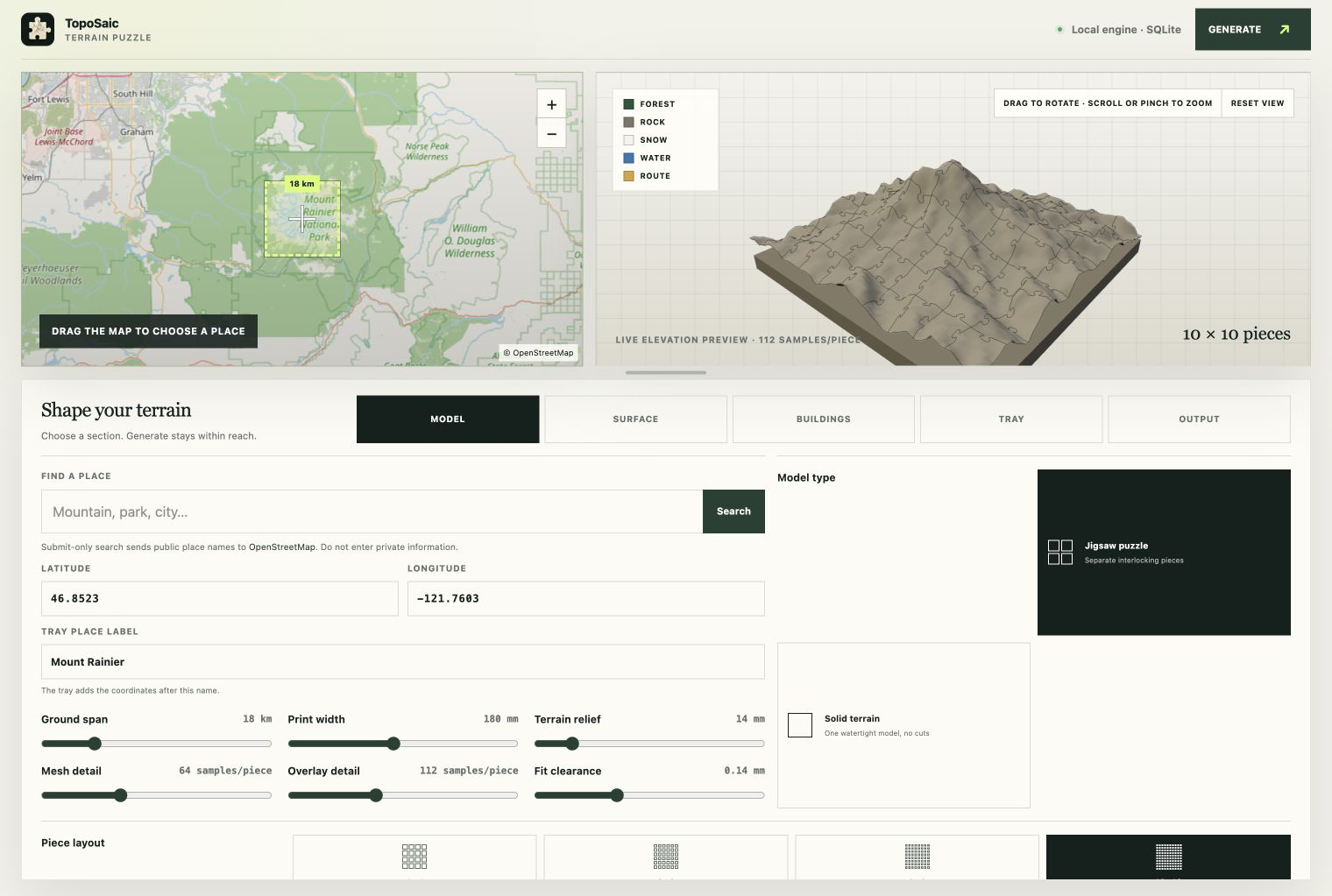
New project, and a change of pace from plate solvers: TopoSaic turns any place on Earth into a 3D-printable terrain jigsaw puzzle. Pick a mountain, tune the model beside a live, rotatable 3D preview, hit Generate, and out come watertight STL and color 3MF files — cut into puzzle pieces with proper narrow-necked round tabs and sockets, like a jigsaw that happens to be Mount Rainier.
The name is a portmanteau of topographic mosaic. It’s a desktop app for Windows, macOS (signed and notarized), and Linux, with the engine written in Rust: it samples worldwide elevation data, builds each watertight piece in parallel, and keeps job state in SQLite. Everything runs and caches locally — the only network traffic is fetching the open map data, and every tile is reused on the next change.
Real map data, printable geometry
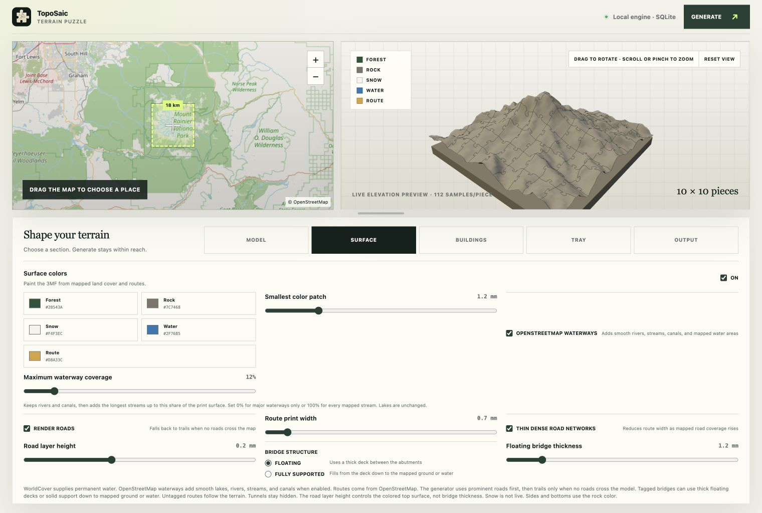
The terrain itself comes from Mapzen Terrarium elevation tiles on the AWS Open Data registry. On top of that, color mode paints the model from real land cover and mapping:
- ESA WorldCover (10 m) maps tree cover, bare ground, snow, and permanent water to editable forest, rock, snow, and water colors.
- OpenStreetMap roads draw as smooth, print-safe vector lines raised one print-layer above the surface — motorways down to secondary roads, falling back to trails where nothing bigger crosses the area. Roads tagged as bridges interpolate a deck between their abutments instead of diving into the ravine below.
- Rivers, streams, and canals follow the same smooth vector treatment, with a coverage dial that always keeps the rivers and then adds the longest streams up to a chosen share of the print surface.
- Buildings rise from their mapped footprints — tagged height first, then floor count — with straight walls and their own print material.
The 3MF carries all of it as standard triangle colors for multi-material printing; the STL keeps the raised geometry in a single color.
Puzzles, slabs, and trays
Piece layouts run from 2×2 to 16×16 — the default 10×10 makes a hundred pieces. A solid-terrain mode skips the seams and exports one continuous watertight model. And an optional display tray prints as its own piece: a shallow well whose floor inlays smooth equal-height contour lines in a second color, with the place name and coordinates raised on the front lip in vector letterforms (Atkinson Hyperlegible, so the label prints the same on every OS).
Finding a place is a search box (user-submitted queries to OpenStreetMap Nominatim, rate-limited and cached) or just dragging the map. The moment you stop moving, the preview pane fetches a real elevation sample and shows a lit, orbitable 3D relief of exactly what you’d print — before any full-resolution job starts.
Grab a build from the releases page, or read more at toposaic.com — source, as always, on GitHub.